History Of Paradise Valley – Arizona’s Wealthiest Municipality
The History Of Paradise Valley
Today, we're going to discuss the history of Paradise Valley, Arizona. Nothing fancy this time. Today's blog is all about stats, dates, and facts. We hope you enjoy.
- Paradise Valley, Arizona history began in the late 1800s as a grazing area for cattle surrounded by mountains
- In the 1880s, the Rio Verde Canal Company turned the area into irrigated farmland and named it Paradise Valley
- Settlement in the area did not begin until after World War II, with homes on large parcels of land
- The washes in Paradise Valley have always been significant in controlling floodwater in residential neighborhoods
- Marvin Folkman addressed flooding in the mid-1940s to build homes on his land north of Doubletree Ranch and west of Scottsdale Rd
- In 1949, the Berneil Ditch and Drainage Channel was constructed to carry floodwater away from Scottsdale Road to the Indian Bend Wash
- By 1949, the first greenbelt in the Indian Bend Wash was complete
- In the late 1950s, Phoenix and Scottsdale were expanding, causing residents to fear loss of their rural lifestyle
- A Citizens Committee for Incorporation was formed, and in 1961, Paradise Valley was established as a town
- The town had a minimum of one house per acre zoning and a focus on maintaining a residential community
- The early Town Council established zoning ordinances and annexed property
- The town adopted an Underground Utilities Ordinance in 1964, mandating that all new utility lines be placed underground
- The Arizona Canal Diversion Channel (ACDC) was initiated in 1965 to alleviate flooding in low-lying areas throughout the Phoenix area
- By 1968, the town's boundaries were mostly set, with only a few county islands remaining
- Fun Fact - The first Town Council met in a guesthouse before renting a building on Malcomb Drive
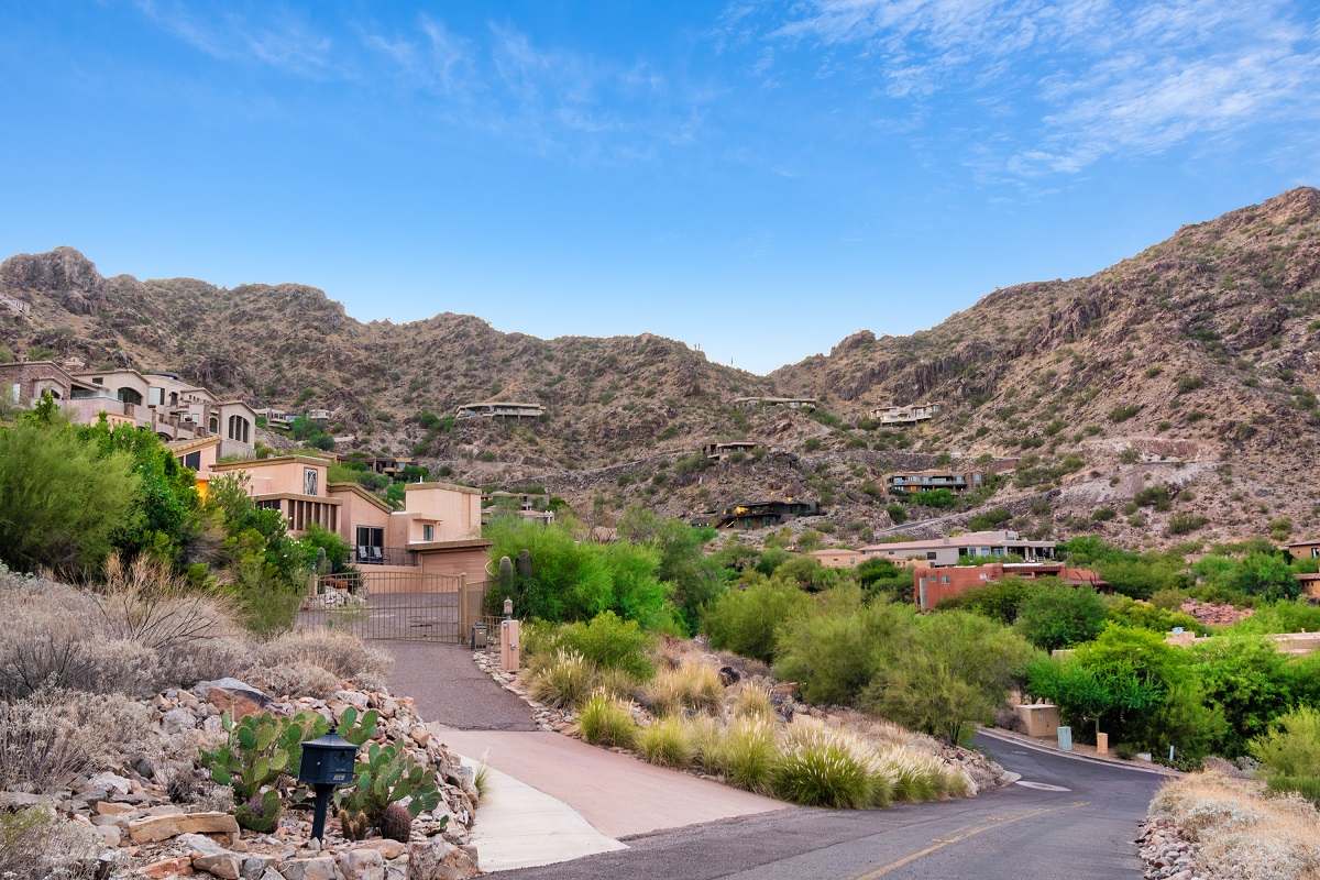
A Residential Community In Paradise Valley, AZ.
1970s
- In 1973, the town adopted Flood Plain Regulations requiring the entire Indian Bend Wash to be developed as a green belt
- The ditch was widened and deepened to handle larger amounts of floodwater in 1974
- In 1974, the first town-owned sewer line was installed, allowing residents with septic systems to access sewer lines
- Also in 1974, the Council decided to build a new Town Hall, designed by architect William Bruder, using accumulated funds
- Reach IV of the ACDC was proposed in the mid-1970s to collect floodwater from the Cudia City Wash just east of Phoenix Country Day School
- Homeowners protested against the proposed uncovered concrete channel. Town Council researched alternate solutions and agreed to a covered channel
1980s & Beyond
- An addition was built to Town Hall in 1980
- The Tatum Curve on Tatum Boulevard between Caida del Sol and Mockingbird Lane was improved in 1985
- In March 1991, the Council approved a resolution. 90% of the estimated cost of the Reach IV channel cover was obtained
- In October 1992, the State of Arizona Heritage Fund granted money to plant natural landscaping over the channel cover to restore wildlife habitat
- The Council voted in 1993 to sell bonds to build a new public works building, public safety building, and refurbish the old Town Hall for the Municipal Court
- In 1995, the rocks at the Tatum Curve were restored to their natural colors after construction had caused a stain
- In 2000, Arizona Public Service agreed to underground utility lines along certain roads in the town
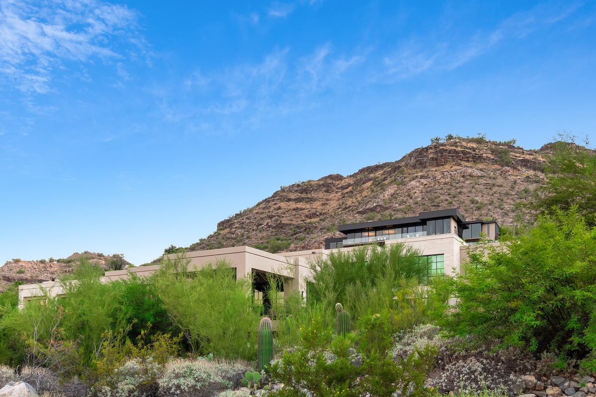
- In May of 2018, construction began on the multi-billion-dollar Ritz-Carlton, Paradise Valley
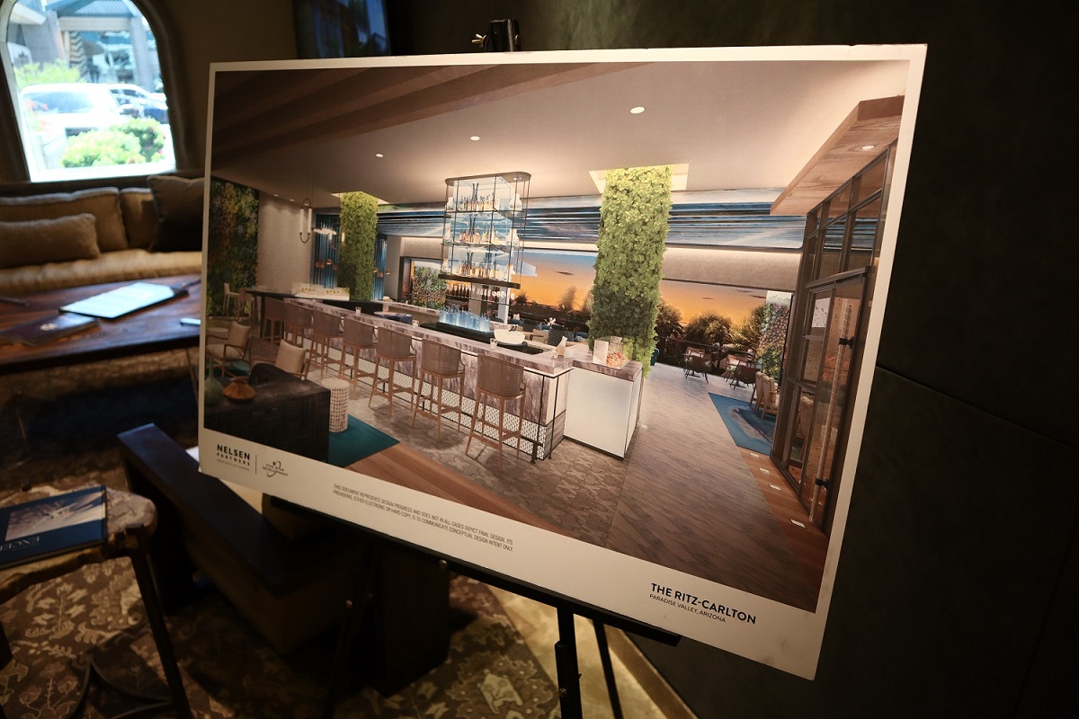
The Ritz-Carlton, Paradise Valley Residences Sales Center
Paradise Valley Country Club
- The idea of Paradise Valley Country Club began in 1952 by a group of businessmen
- They believed that a golf course in the area would benefit local resorts and real estate
- A committee was formed, and a meeting was held in November 1952 to assess community support
- By January 1953, the location of the golf course had been narrowed down to two sites: the McCormick Ranch and Camelback Inn property
- Mr. Jack Stewart announced that the Camelback Inn was the right location due to the donated land and its proximity to Phoenix
- The Paradise Valley Country Club had 184 members by the end of the first year.
- The golf course, designed by Lawrence Hughes, officially opened on April 10, 1954
- Today, the Paradise Valley Country Club has approximately 1000 members
History Of Resorts In Paradise Valley
- Hermosa Inn was built in 1930 as a guest ranch, but fell into disrepair after changing ownership several times
- Camelback Inn, owned by John C. Lincoln, opened in 1936 as a seasonal resort
- Mountain Shadows Resort was originally the Tennessee Walking Horse Ranch, built by Jim Paul in the 1950s
- Sanctuary on Camelback Mountain was originally the Paradise Valley Tennis Club
- In the 1960s, Sanctuary was purchased and restored by Vic Jackson and John Gardiner
- It was sold to a Cincinnati group and is currently managed by the Westroc Group as an intimate resort and spa
- In the 1960s, Mountain Shadows Resort was sold to Del Webb
- Smoketree Resort was purchased by Melinda and Curtis Williams in 1966
- Camelback Inn was sold to Marriott in 1967
- Mountain Shadows Resort was sold to Marriott in 1981
- The Hermosa Inn was restored by Fred Unger in the 1990s and includes a restaurant named Lon's
Paradise Valley Is Arizona's Wealthiest Municipality
History Of Education In Paradise Valley
- Judson School was the state's oldest independent college preparatory school, founded in 1928
- Camelback Desert School was opened in 1950 and relocated to Invergorden Road in Paradise Valley
- Phoenix Country Day School was started in 1960 by Mae Sue Talley and a group of parents
- Kachina Country Day School was founded in 1983 with an initial enrollment of 170 students
- Kachina Country School received a charter contract from the Arizona State Board of Education in 1996
- Judson School was sold to Cachet Homes in 1999 and demolished to make way for luxury homes in Paradise Valley
- Private schools in Paradise Valley include Desert View Learning Center, Pardes School, and Tesseract
- Public schools include Cherokee Elementary and Kiva Elementary
Historical Landmark Tidbits
- In 1916, Camelback Cemetery, originally part of Hans and Mary Weaver's homestead, became an actual cemetery
- Burials include victims of the 1918 flu epidemic, Mexican-Catholics, and military veterans. The cemetery has a monument and flagpole dedicated to veterans
- Prior to PV's incorporation, Paoli Soleri built the Cosanti gallery on five acres of land
- El Chorro Lodge: Originally the home of the Bell family, it was also the site of the Judson School for Girls in the 1930s
- The Gruber family later purchased the property and turned it into El Chorro Lodge, named for the nearby "running stream."
- As of 2023., El Chorro Lodge operates as a restaurant a special events property
- Originally known as Windy Gulch or Horseshoe Mountain, town resident Charlie Mieg created the name Mummy Mountain because of its resemblance to a mummy
- Established in 1997, the Mummy Mountain Preserve Trust was created to protect and preserve the natural landscape, plants, wildlife, and scenic beauty of PV
Also Read: Why Are So Many Wealthy People Moving To Arizona's Paradise Valley?